Radtour Rad-Urlaub an Hoch- und Oberrhein 2015
Dag 2: München, dag 1
![]()
Bitte warten - Kartendaten werden geladen
Erstellt am 29.07.2015
am 04.12.2015
Strecken-Merkmale
gefahren
Gesamtlänge in km
35
Gesamthöhenmeter Aufstieg
343
Durchschn. Steigung Aufstieg %
0,98
Gesamthöhenmeter Abstieg
343
min. Höhe
310
max. Höhe
557
Informationen zu Rechten an den GPS-Track-Daten | |
|---|---|
Rechte-Inhaber | |
Rechte-Ausprägung / Lizenz | by-sa: CREATIVE COMMONS Namensnennung, Weitergabe unter gleichen Bedingungen |
Link zur Rechtebeschreibung | |
gpx-Datei hochgeladen | durch Ottocolor am 29.07.2015
|
Gesamtzahl Trackpoints
745
Trackpoint-Dichte per km
21
Endorte
Start
München, Bayern, DE (534 m NHN)
Ziel
München, Bayern, DE (534 m NHN)
gefahren am
13.07.2015
Wetter
Overcast, but dry weather. Quite warm. Almost no wind.
Unterkunft
Campingplatz Thalkirchen
Zentralländstraße 49
DE-81379 München
Beschaffenheit
Bike lanes in Munich along big roads, bike paths in the English Garden and along the river Isar to the camp site. Mostly tarmac and good gravel paths.
Steigungs-Verteilung
Bemerkungen
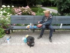
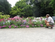
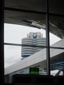
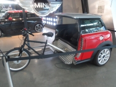
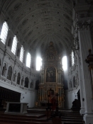
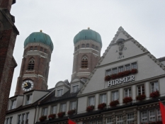
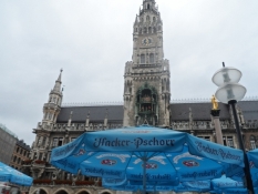
Arrival in Munich at 7 in the morning. From the main station to Alter Botanischer Garten, where we eat breakfast. Then out to the BMW Welt, where we pick up tickets for a guided tour of the BMW plant in the afternoon. From there to the city center, where we visit Michaeliskirken and have a weisswurst lunch. Afterwards I buy a new sleeping mat at Globetrotter. Further down to the Isar and along the river and into the English Garden, where we have an afternoon break. I test my new mat. From there back to the BMW plant and the guided tour in English. I am not allowed to take photos at all. An overwhelming experience. After the two and a half hours, we ride through the English Garden and along the river to Thalkirchen where we buy in bulk and go on to the campsite, where Simon prepares our dinner. We have it in the square down to the river.
Reisebericht
