
Cycle Tour Bike weekend 2013
2. Etape: Svendborg-Bøjden
![]()
Please wait - map data are loading
Added on 01 Jun 2013
on 22 Nov 2013
Cycle route metrics
ridden
Total distance in km
48
Cumulative elevation gain in m
346
Avg. slope uphill in %
0,72
Cumulative elevation loss in m
365
Min. height
3
Max. height
56
Information about rights to the gps-track data | |
|---|---|
Rights owner | |
Rights characteristic / license | by-sa: CREATIVE COMMONS Attribution-ShareAlike |
Link to the description of the license | |
GPX file uploaded | by Ottocolor on 17 Jun 2013
|
Track points in total
439
Track points per km (avg)
9
Start/endpoint
Start location
Svendborg, Region of Southern Denmark, DK (24 m NHN)
End location
Kalvøre, Region of Southern Denmark, DK (5 m NHN)
ridden on
26 May 2013
Travel report
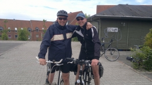
Klar søndag morgen på Danhostel Svendborg
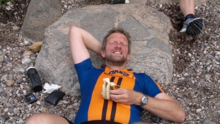
Hvil på stranden ved Præstens skov

Keine Müdigkeit vortäuschen!