
Cycle Tour Copenhagen-Nykoebing F
Dag 1: København-Mandehoved
![]()
Please wait - map data are loading
Added on 19 Apr 2015
last edited by Ottocolor on 03 Apr 2018
Cycle route metrics
ridden
Total distance in km
82
Cumulative elevation gain in m
457
Avg. slope uphill in %
0,56
Cumulative elevation loss in m
423
Information about rights to the gps-track data | |
|---|---|
Rights owner | |
Rights characteristic / license | by-sa: CREATIVE COMMONS Attribution-ShareAlike |
Link to the description of the license | |
GPX file uploaded | by Ottocolor on 20 Apr 2015
|
Track points in total
1.108
Track points per km (avg)
14
Start/endpoint
Start location
Avedøre Landsby, Capital Region of Denmark, DK (3 m NHN)
End location
Mandehoved, Region Zealand, DK (37 m NHN)
ridden on
15 Apr 2015
Weather
First mainly overcast, later more sunny. Cool temperatures, 7-12ºC. All day long a brisk westerly wind, almost a strong breeze, which not really calmed down in the evening.
Accommodation
Stevns Naturcenter
Mandehoved 10
DK-4660 St. Heddinge
Properties
Along the national cycle route No 4 out of Copenhagen from the central railway station on ordinary bike lanes along big roads and calm residential roads, then on separate tarmac bike paths along Vestvolden (the western rampage) and the lagoons along the coast, at Koege bay beach park also on gravel paths. A mix of residential roads and bike paths between Hundige and Kildebrønde. From there on minor roads to the town of Koege. In the town on bike paths and cobbled streets out of town on good bike lanes to Stroeby Egede. From there on minor roads out on Stevns peninsula.
Slope Gradient Distribution
Remarks
The stage began as planned at Copenhagen central station and not, as recorded, in the suburb of Hvidovre. Thus it is 6 km longer, i.e. 88 km.
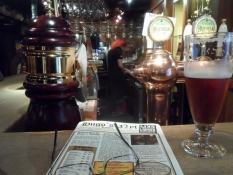
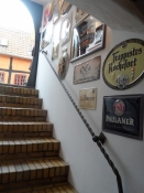
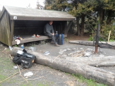
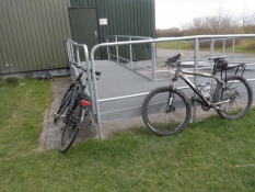
Travel report
Information about copyright | |
|---|---|
Rights owner | |
Rights characteristic / license | by-sa: CREATIVE COMMONS Attribution-ShareAlike |
Link to the description of the license | |
Image has been uploaded | by Ottocolor on 20 Apr 2015
|
Information about copyright | |
|---|---|
Rights owner | |
Rights characteristic / license | by-sa: CREATIVE COMMONS Attribution-ShareAlike |
Link to the description of the license | |
Image has been uploaded | by Ottocolor on 20 Apr 2015
|
Information about copyright | |
|---|---|
Rights owner | |
Rights characteristic / license | by-sa: CREATIVE COMMONS Attribution-ShareAlike |
Link to the description of the license | |
Image has been uploaded | by Ottocolor on 20 Apr 2015
|
Information about copyright | |
|---|---|
Rights owner | |
Rights characteristic / license | by-sa: CREATIVE COMMONS Attribution-ShareAlike |
Link to the description of the license | |
Image has been uploaded | by Ottocolor on 20 Apr 2015
|
Information about copyright | |
|---|---|
Rights owner | |
Rights characteristic / license | by-sa: CREATIVE COMMONS Attribution-ShareAlike |
Link to the description of the license | |
Image has been uploaded | by Ottocolor on 20 Apr 2015
|
Information about copyright | |
|---|---|
Rights owner | |
Rights characteristic / license | by-sa: CREATIVE COMMONS Attribution-ShareAlike |
Link to the description of the license | |
Image has been uploaded | by Ottocolor on 20 Apr 2015
|
Information about copyright | |
|---|---|
Rights owner | |
Rights characteristic / license | by-sa: CREATIVE COMMONS Attribution-ShareAlike |
Link to the description of the license | |
Image has been uploaded | by Ottocolor on 20 Apr 2015
|
Information about copyright | |
|---|---|
Rights owner | |
Rights characteristic / license | by-sa: CREATIVE COMMONS Attribution-ShareAlike |
Link to the description of the license | |
Image has been uploaded | by Ottocolor on 20 Apr 2015
|
Information about copyright | |
|---|---|
Rights owner | |
Rights characteristic / license | by-sa: CREATIVE COMMONS Attribution-ShareAlike |
Link to the description of the license | |
Image has been uploaded | by Ottocolor on 20 Apr 2015
|