Cycle Tour Hospental nach Basel
Tag 9: Stein AG nach Basel
![]()
Please wait - map data are loading
Added on 09 Mar 2017
last edited by Tandemteam-Traudel_und_Dieter on 15 Mar 2017
Cycle route metrics
ridden
Total distance in km
46
Cumulative elevation gain in m
585
Avg. slope uphill in %
1,27
Cumulative elevation loss in m
626
Total cycling hours
3,0
Avg. pace in km/h
15,3
Min. height
256
Max. height
328
Information about rights to the gps-track data | |
|---|---|
Rights owner | |
Rights characteristic / license | by-sa: CREATIVE COMMONS Attribution-ShareAlike |
Link to the description of the license | |
GPX file uploaded | by Tandemteam-Traudel_und_Dieter on 10 Mar 2017
|
Track points in total
687
Track points per km (avg)
15
Start/endpoint
Start location
Stein, Aargau, CH (302 m NHN)
End location
Basel, Basel-Stadt, CH (265 m NHN)
ridden on
31 Jul 2011
Weather
bedeckt
Properties
Teer und befestigter Weg.
Travel report
Information about copyright | |
|---|---|
Rights owner | |
Rights characteristic / license | © all rights reserved. |
Image has been uploaded | by Tandemteam-Traudel_und_Dieter on 14 Mar 2017
|
Information about copyright | |
|---|---|
Rights owner | |
Rights characteristic / license | © all rights reserved. |
Image has been uploaded | by Tandemteam-Traudel_und_Dieter on 14 Mar 2017
|
Information about copyright | |
|---|---|
Rights owner | |
Rights characteristic / license | © all rights reserved. |
Image has been uploaded | by Tandemteam-Traudel_und_Dieter on 14 Mar 2017
|
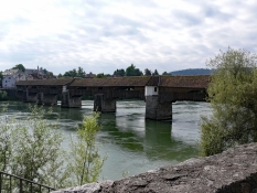
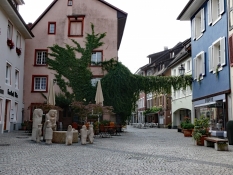
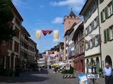
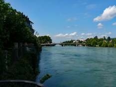
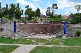
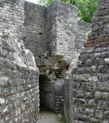
Die letzte Etappe führt uns durch Rheinfelden nach Kaiseraugst. Bei Kaiseraugst gab es eine römische Siedlung zu sehen.
Information about copyright | |
|---|---|
Rights characteristic / license | by-sa: CREATIVE COMMONS Attribution-ShareAlike |
Link to the description of the license | |
taken over / edited on | 14 Mar 2017
|
taken over / edited by |
|
Information about copyright | |
|---|---|
Rights owner | |
Rights characteristic / license | © all rights reserved. |
Image has been uploaded | by Tandemteam-Traudel_und_Dieter on 14 Mar 2017
|
Information about copyright | |
|---|---|
Rights owner | |
Rights characteristic / license | © all rights reserved. |
Image has been uploaded | by Tandemteam-Traudel_und_Dieter on 14 Mar 2017
|
Information about copyright | |
|---|---|
Rights owner | |
Rights characteristic / license | © all rights reserved. |
Image has been uploaded | by Tandemteam-Traudel_und_Dieter on 14 Mar 2017
|
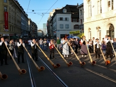
Bei Pratteln kamen wir auf die Nord/Süd-Route (3), die wir in 2008 von Basel aus geradelt sind. In Basel wieder in der Jugendherberge übernachtet. Zum Abschluss unserer Radtour gab es abends noch ein großes Feuerwerk. (Am 01.August ist in der Schweiz Nationalfeiertag!)
Information about copyright | |
|---|---|
Rights characteristic / license | by-sa: CREATIVE COMMONS Attribution-ShareAlike |
Link to the description of the license | |
taken over / edited on | 14 Mar 2017
|
taken over / edited by |
|
Information about copyright | |
|---|---|
Rights owner | |
Rights characteristic / license | © all rights reserved. |
Image has been uploaded | by Tandemteam-Traudel_und_Dieter on 14 Mar 2017
|
Information about copyright | |
|---|---|
Rights owner | |
Rights characteristic / license | © all rights reserved. |
Image has been uploaded | by Tandemteam-Traudel_und_Dieter on 14 Mar 2017
|
Information about copyright | |
|---|---|
Rights owner | |
Rights characteristic / license | © all rights reserved. |
Image has been uploaded | by Tandemteam-Traudel_und_Dieter on 14 Mar 2017
|

