Cycle Tour Kreuz und Quer durch die Schweiz
Tag 4: Flüelen nach Hospental
![]()
Please wait - map data are loading
Added on 08 Jan 2015
on 06 Feb 2015
Cycle route metrics
ridden
Total distance in km
45
Cumulative elevation gain in m
2.407
Avg. slope uphill in %
5,35
Cumulative elevation loss in m
1.345
Total cycling hours
4,2
Avg. pace in km/h
10,7
Information about rights to the gps-track data | |
|---|---|
Rights owner | |
Rights characteristic / license | by-sa: CREATIVE COMMONS Attribution-ShareAlike |
Link to the description of the license | |
GPX file uploaded | by Tandemteam-Traudel_und_Dieter on 12 Jan 2015
|
Track points in total
386
Track points per km (avg)
9
Start/endpoint
Start location
Flüelen, Uri, CH (442 m NHN)
End location
Hospental, Uri, CH (1504 m NHN)
ridden on
29 Jul 2008
Weather
bedeckt, zeitweise Sonne
Properties
Teerstraßen
Travel report
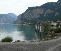
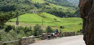
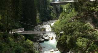
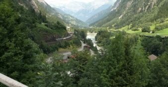
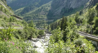
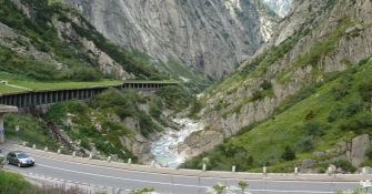
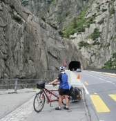
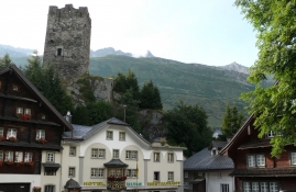
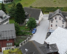
Wegen dem Regen sind wir etwas später weitergefahren. Bis Amsteg war es entspanntes radeln, von weitem konnte man die Baustelle vom Gotthardbasistunnel sehen. Nach einer Stärkung ging es auf der Gotthardstrasse nach Göschenen. Der Autoverkehr hat ab Göschenen zugenommen, und die Steigungen waren auch anstrengender bis Andermatt. Viele Pausen zum Erholen und die Landschaft zu genießen machten die Anstrengung erträglich. In Andermatt angekommen machten wir erst mal eine Kaffeepause. Den Abschnitt von Göschenen nach Andermatt kann man einmal fahren, beim zweiten mal haben wir die Schmalspurbahn genommen (Etappe 7 dieser Radtour)! Von Andermatt ging es dann noch bis Hospental in die Jugendherberge.
Information about copyright | |
|---|---|
Rights characteristic / license | by-sa: CREATIVE COMMONS Attribution-ShareAlike |
Link to the description of the license | |
taken over / edited on | 12 Jan 2015 - 22 Jan 2015
|
taken over / edited by |
|