Radtour Landeck - Naturns
Tag 2: Nauders - Naturns
![]()
Bitte warten - Kartendaten werden geladen
Erstellt am 01.10.2020
zuletzt geändert von ThimbleU am 01.10.2020
Strecken-Merkmale
gefahren
Gesamtlänge in km
75
Gesamthöhenmeter Aufstieg
569
Durchschn. Steigung Aufstieg %
0,76
Gesamthöhenmeter Abstieg
1.413
min. Höhe
527
max. Höhe
1.604
Informationen zu Rechten an den GPS-Track-Daten | |
|---|---|
Rechte-Inhaber | |
Rechte-Ausprägung / Lizenz | cc0: Public Domain keine Rechte vorbehalten |
Link zur Rechtebeschreibung | |
gpx-Datei hochgeladen | durch ThimbleU am 01.10.2020
|
Gesamtzahl Trackpoints
1.324
Trackpoint-Dichte per km
18
Endorte
Start
Nauders, Tirol, AT (1371 m NHN)
Ziel
Naturns - Naturno, Trentino-Alto Adige/Südtirol, IT (527 m NHN)
gefahren am
30.09.2012
Steigungs-Verteilung
Reisebericht
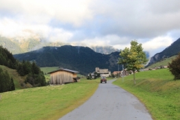
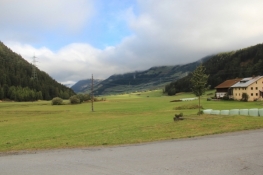
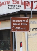
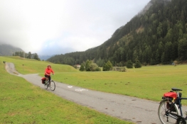
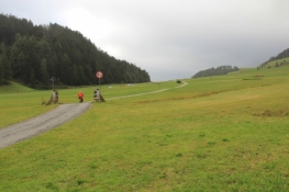
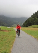
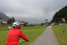
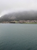
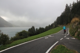
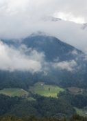
Von Nauders schlängelt sich die Route vorbei an der Burg Naudersberg über die „Alte Straße“ durch die Wiesen bis zum Grenzübergang nach Italien. Die Steigung nimmt ein wenig zu und bald ist die Passhöhe erreicht. Der Blick fällt auf den Reschensee und, wenn das Wetter es gut meint, auf den schneebedeckten Ortler, den mit 3.905 m höchsten Berg Tirols. Den Reschensee fährt man am schönsten auf der westlichen Seite, etwas flacher und vorbei am berühmten Kirchturm von Graun führt der alte Radweg auf der östlichen Seite.
Informationen zu Urheber-Rechten | |
|---|---|
Rechte-Ausprägung / Lizenz | by-sa: CREATIVE COMMONS Namensnennung, Weitergabe unter gleichen Bedingungen |
Link zur Rechtebeschreibung | |
übernommen / bearbeitet am | 01.10.2020
|
übernommen / bearbeitet durch |
|
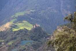
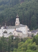
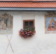
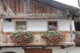
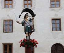
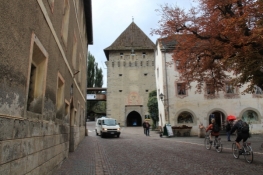
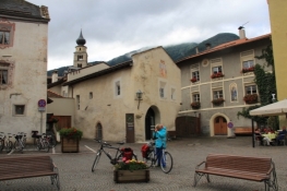
Vom Staudamm des Reschensees erblickt man den Haidersee, den man ebenfalls westlich passiert. Danach wird der Radweg steiler, führt er ins Tal hinunter, mit schönen Fernblicken auf Ortler und Vinschgau. Kurz nachdem man die schmalen alten Gassen von Burgeis erreicht hat, eröffnet sich der Blick auf Kloster Marienberg, das als weiß getünchter festungsartiger Bau hoch über dem Tal an den Hang geklebt scheint. Vorbei an der Fürstenburg verläuft die Route weiter ins Tal hinunter mit bis zu 20% Gefälle nach Schleis und weiter nach Laatsch. Wenig später gelangt man nach Glurns, auch Rothenburg Südtirols genannt. Die Stadt verfügt noch über ihre vollständig erhaltenen Stadtmauern und Stadttore.
Informationen zu Urheber-Rechten | |
|---|---|
Rechte-Ausprägung / Lizenz | by-sa: CREATIVE COMMONS Namensnennung, Weitergabe unter gleichen Bedingungen |
Link zur Rechtebeschreibung | |
übernommen / bearbeitet am | 01.10.2020
|
übernommen / bearbeitet durch |
|
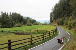
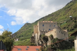
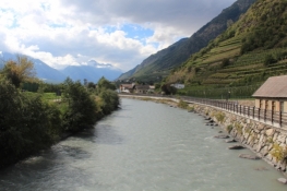
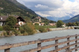
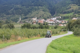
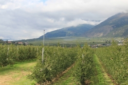
Die Route verläuft weiter am Ufer der Etsch. In der Ferne sieht man die auf einer Kuppe bei Schluderns stehende Churburg. Bei Prad wendet sie sich vom Fluss ab nach Südwesten, führt durch den Ort Prad und dann in die nicht mehr enden wollenden Obstanbauflächen. Nahe Eyrs ist die Route zurück an der Etsch, die sie bis Meran, von kurzen Schlenkern durch die Orte abgesehen, nicht mehr verlässt.
Informationen zu Urheber-Rechten | |
|---|---|
Rechte-Ausprägung / Lizenz | by-sa: CREATIVE COMMONS Namensnennung, Weitergabe unter gleichen Bedingungen |
Link zur Rechtebeschreibung | |
übernommen / bearbeitet am | 01.10.2020
|
übernommen / bearbeitet durch |
|
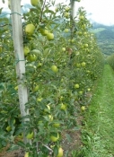
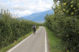
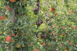
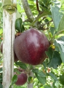
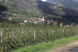
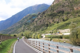
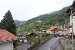
Hinter Laas überwindet die Etsch, die sich inzwischen zum ansehnlichen Bergfluss entwickelt hat, eine weitere Geländestufe. Kurz vor Kastelbel liegen die ersten Rebstöcke an der Route. Das Tal bleibt aber weiterhin vom Obstanbau geprägt.
Informationen zu Urheber-Rechten | |
|---|---|
Rechte-Ausprägung / Lizenz | by-sa: CREATIVE COMMONS Namensnennung, Weitergabe unter gleichen Bedingungen |
Link zur Rechtebeschreibung | |
übernommen / bearbeitet am | 01.10.2020
|
übernommen / bearbeitet durch |
|