
Cycle Tour Tauern-Adria-Dolomiten-Runde
Tag 2: St. Ulrich am Pillersee Ortsteil Flecken nach Fusch an der Großglocknerstraße
![]()
Please wait - map data are loading
Added on 12 Aug 2016
last edited by Tandemteam-Traudel_und_Dieter on 19 Dec 2016
Cycle route metrics
ridden
Total distance in km
57
Cumulative elevation gain in m
526
Avg. slope uphill in %
0,92
Cumulative elevation loss in m
545
Total cycling hours
3,5
Avg. pace in km/h
16,3
Min. height
736
Max. height
988
Information about rights to the gps-track data | |
|---|---|
Rights owner | |
Rights characteristic / license | by-sa: CREATIVE COMMONS Attribution-ShareAlike |
Link to the description of the license | |
GPX file uploaded | by Tandemteam-Traudel_und_Dieter on 12 Aug 2016
|
Track points in total
1.194
Track points per km (avg)
21
Start/endpoint
Start location
St. Ulrich am Pillersee, Tirol, AT (876 m NHN)
End location
Fusch an der Großglocknerstraße, Salzburg, AT (857 m NHN)
ridden on
25 Jun 2016
Weather
Sonne über 30°
Properties
Nebenstraße und Radweg
Teilweise geteert und befestigter Weg
Travel report
Information about copyright | |
|---|---|
Rights owner | |
Rights characteristic / license | © all rights reserved. |
Image has been uploaded | by Tandemteam-Traudel_und_Dieter on 13 Dec 2016
|
Information about copyright | |
|---|---|
Rights owner | |
Rights characteristic / license | © all rights reserved. |
Image has been uploaded | by Tandemteam-Traudel_und_Dieter on 13 Dec 2016
|
Information about copyright | |
|---|---|
Rights owner | |
Rights characteristic / license | © all rights reserved. |
Image has been uploaded | by Tandemteam-Traudel_und_Dieter on 13 Dec 2016
|
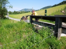
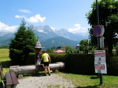
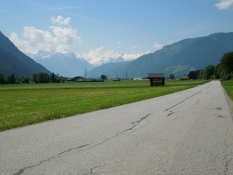
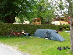
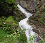
Nach dem Frühstück ging es bei klarem Wetter los. Auf einer Nebenstraße leicht ansteigend nach Hochfilzen. Ab Hochfilzen meist abwärts auf dem Radweg über Leogang nach Saalfelden. Weiter ging es auf Radwegen zum Zeller See den wir über Thumersbach halb umrundeten. Ab Bruck leicht ansteigend auf dem Radweg an der Großglocknerstraße nach Fusch. Es war ein sonniger Tag.
Information about copyright | |
|---|---|
Rights characteristic / license | by-sa: CREATIVE COMMONS Attribution-ShareAlike |
Link to the description of the license | |
taken over / edited on | 14 Dec 2016
|
taken over / edited by |
|
Information about copyright | |
|---|---|
Rights owner | |
Rights characteristic / license | © all rights reserved. |
Image has been uploaded | by Tandemteam-Traudel_und_Dieter on 14 Dec 2016
|
Information about copyright | |
|---|---|
Rights owner | |
Rights characteristic / license | © all rights reserved. |
Image has been uploaded | by Tandemteam-Traudel_und_Dieter on 14 Dec 2016
|
Information about copyright | |
|---|---|
Rights owner | |
Rights characteristic / license | © all rights reserved. |
Image has been uploaded | by Tandemteam-Traudel_und_Dieter on 14 Dec 2016
|