Cycle Tour The Rhone from Geneva to the Mediterranean
Tag 4: Sault-Brénaz - Lyon
![]()
Please wait - map data are loading
Added on 16 Dec 2013
last edited by Tandemteam-Traudel_und_Dieter on 28 Dec 2014
Cycle route metrics
ridden
Total distance in km
76
Cumulative elevation gain in m
803
Avg. slope uphill in %
1,06
Cumulative elevation loss in m
774
Total cycling hours
4,5
Avg. pace in km/h
16,9
Min. height
151
Max. height
257
Information about rights to the gps-track data | |
|---|---|
Rights owner | |
Rights characteristic / license | by-sa: CREATIVE COMMONS Attribution-ShareAlike |
Link to the description of the license | |
GPX file uploaded | by Tandemteam-Traudel_und_Dieter on 16 Dec 2013
|
Track points in total
530
Track points per km (avg)
7
Start/endpoint
Start location
Porcieu-Amblagnieu, Auvergne-Rhône-Alpes, FR (210 m NHN)
End location
Lyon, Auvergne-Rhône-Alpes, FR (239 m NHN)
ridden on
11 Jun 2013
Weather
Bedeckt
Properties
Radwege nicht immer geteert und Nebenstraßen
Travel report
Information about copyright | |
|---|---|
Rights owner | |
Rights characteristic / license | © all rights reserved. |
Image has been uploaded | by Tandemteam-Traudel_und_Dieter on 28 Dec 2014
|
Information about copyright | |
|---|---|
Rights owner | |
Rights characteristic / license | © all rights reserved. |
Image has been uploaded | by Tandemteam-Traudel_und_Dieter on 28 Dec 2014
|
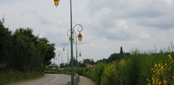
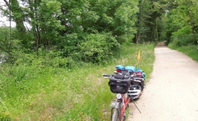
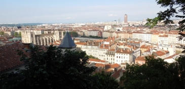
Vom Campingplatz aus auf einem neuen Radweg, der nach kurzer Zeit endet (der Weiterbau ist in Arbeit), weiter auf Nebenstraßen bis Jons. Die Kaffeepause am Nachmittag gab es schon am Vormittag! Von hier auf einem Radweg, der gut markiert ist, an der Rhone entlang nach Lyon. In Lyon kein Campingplatz, sondern die Jugendherberge, die oberhalb der Altstadt liegt, mussten wir erst suchen.
Information about copyright | |
|---|---|
Rights characteristic / license | by-sa: CREATIVE COMMONS Attribution-ShareAlike |
Link to the description of the license | |
taken over / edited on | 16 Dec 2013 - 02 Jan 2014
|
taken over / edited by |
|
Information about copyright | |
|---|---|
Rights owner | |
Rights characteristic / license | © all rights reserved. |
Image has been uploaded | by Tandemteam-Traudel_und_Dieter on 28 Dec 2014
|
Information about copyright | |
|---|---|
Rights owner | |
Rights characteristic / license | © all rights reserved. |
Image has been uploaded | by Tandemteam-Traudel_und_Dieter on 28 Dec 2014
|


