Cycle Tour The Rhone from Geneva to the Mediterranean
Tag 7: St. Clair-du-Rhône - Valence
![]()
Please wait - map data are loading
Added on 16 Dec 2013
last edited by Tandemteam-Traudel_und_Dieter on 29 Dec 2014
Cycle route metrics
ridden
Total distance in km
79
Cumulative elevation gain in m
260
Avg. slope uphill in %
0,33
Cumulative elevation loss in m
314
Total cycling hours
5,0
Avg. pace in km/h
15,8
Min. height
105
Max. height
179
Information about rights to the gps-track data | |
|---|---|
Rights owner | |
Rights characteristic / license | by-sa: CREATIVE COMMONS Attribution-ShareAlike |
Link to the description of the license | |
GPX file uploaded | by Tandemteam-Traudel_und_Dieter on 16 Dec 2013
|
Track points in total
251
Track points per km (avg)
3
Start/endpoint
Start location
Saint-Clair-du-Rhône, Auvergne-Rhône-Alpes, FR (164 m NHN)
End location
Valence, Auvergne-Rhône-Alpes, FR (110 m NHN)
ridden on
14 Jun 2013
Weather
Sonnig
Properties
Radwege und Straßen
Travel report
Information about copyright | |
|---|---|
Rights owner | |
Rights characteristic / license | © all rights reserved. |
Image has been uploaded | by Tandemteam-Traudel_und_Dieter on 29 Dec 2014
|
Information about copyright | |
|---|---|
Rights owner | |
Rights characteristic / license | © all rights reserved. |
Image has been uploaded | by Tandemteam-Traudel_und_Dieter on 29 Dec 2014
|
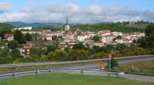
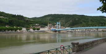
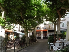
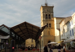
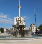
Heute geht es, zum Teil über Radwege, auf den Campingplatz in Valence. Die Kaffeepause ist heute in Saint-Vallier.
Information about copyright | |
|---|---|
Rights characteristic / license | by-sa: CREATIVE COMMONS Attribution-ShareAlike |
Link to the description of the license | |
taken over / edited on | 17 Dec 2013 - 20 Dec 2013
|
taken over / edited by |
|
Information about copyright | |
|---|---|
Rights owner | |
Rights characteristic / license | © all rights reserved. |
Image has been uploaded | by Tandemteam-Traudel_und_Dieter on 29 Dec 2014
|
Information about copyright | |
|---|---|
Rights owner | |
Rights characteristic / license | © all rights reserved. |
Image has been uploaded | by Tandemteam-Traudel_und_Dieter on 29 Dec 2014
|
Information about copyright | |
|---|---|
Rights owner | |
Rights characteristic / license | © all rights reserved. |
Image has been uploaded | by Tandemteam-Traudel_und_Dieter on 29 Dec 2014
|
Information about copyright | |
|---|---|
Rights owner | |
Rights characteristic / license | © all rights reserved. |
Image has been uploaded | by Tandemteam-Traudel_und_Dieter on 29 Dec 2014
|
Information about copyright | |
|---|---|
Rights owner | |
Rights characteristic / license | © all rights reserved. |
Image has been uploaded | by Tandemteam-Traudel_und_Dieter on 29 Dec 2014
|

