
Cycle Tour Vom Bodensee über Genfersee nach Basel
Tag 8: Längenbühl bis Gumefens
![]()
Please wait - map data are loading
Added on 06 Apr 2017
on 14 Apr 2017
Cycle route metrics
ridden
Total distance in km
78
Cumulative elevation gain in m
2.457
Avg. slope uphill in %
3,15
Cumulative elevation loss in m
2.433
Total cycling hours
5,2
Avg. pace in km/h
15,0
Min. height
576
Max. height
892
Information about rights to the gps-track data | |
|---|---|
Rights owner | |
Rights characteristic / license | by-sa: CREATIVE COMMONS Attribution-ShareAlike |
Link to the description of the license | |
GPX file uploaded | by Tandemteam-Traudel_und_Dieter on 07 Apr 2017
|
Track points in total
1.639
Track points per km (avg)
21
Start/endpoint
Start location
Forst-Längenbühl, Bern, CH (651 m NHN)
End location
Pont-en-Ogoz, Freiburg, CH (675 m NHN)
ridden on
03 Aug 2012
Weather
Bewölkt
Properties
Teer
Travel report
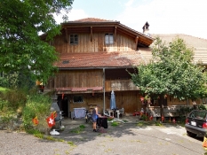
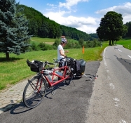
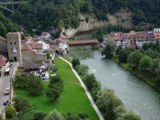
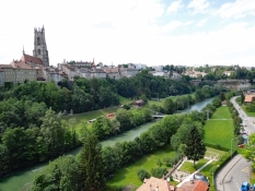
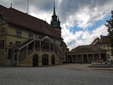
Bei starker Bewölkung ging es nach dem Frühstück los. Über Wattenwil, Schwarzenburg und Heitenried radeln wir nach Fribourg in die französisch sprechende Schweiz.
Information about copyright | |
|---|---|
Rights characteristic / license | by-sa: CREATIVE COMMONS Attribution-ShareAlike |
Link to the description of the license | |
taken over / edited on | 07 Apr 2017
|
taken over / edited by |
|
Information about copyright | |
|---|---|
Rights characteristic / license | by-sa: CREATIVE COMMONS Attribution-ShareAlike |
Link to the description of the license | |
taken over / edited on | 07 Apr 2017
|
taken over / edited by |
|
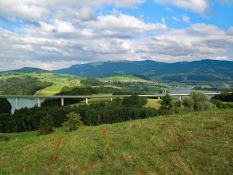
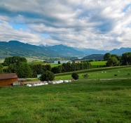
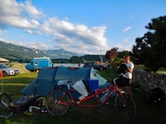
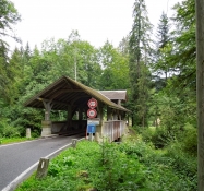
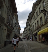
Weiter ging es nach Marly. Den Campingplatz hier gab es nicht mehr. So radelten wir weiter über Farvagny-le-Grand an den Lac de la Gruyère. Bei Gumefens fanden wir einen Campingplatz am See.
Information about copyright | |
|---|---|
Rights characteristic / license | by-sa: CREATIVE COMMONS Attribution-ShareAlike |
Link to the description of the license | |
taken over / edited on | 07 Apr 2017
|
taken over / edited by |
|