
Cycle Tour Elbe Cycle Route Schöna - Magdeburg - Havel - Spandau
Travel report
Actions
![]()
Please wait - map data are loading
Added on 15 Apr 2014,
last edited by ThimbleU on 30 Jul 2014
Actions
Cycle route metrics
planned
ridden
Total distance in km
534
561
Cumulative elevation gain in m
3.265
2.680
Avg. slope uphill in %
0,61
0,48
Cumulative elevation loss in m
3.361
2.776
Total cycling hours
-
33,0
Avg. pace in km/h
-
17,0
Information about rights to the gps-track data | |
|---|---|
Rights owner | ThimbleU & biroto-Contributors |
Rights characteristic / license | by-sa: CREATIVE COMMONS Attribution-ShareAlike |
Link to the description of the license | |
GPX file taken from | |
GPX file uploaded | by ThimbleU on 14 Jul 2014
|
Track points in total
6.511
8.899
Track points per km (avg)
12
16
Start/endpoint
Start location
Reinhardtsdorf-Schöna, Sachsen, DE (131 m NHN)
End location
Berlin, Berlin, DE (35 m NHN)
Stages

Dresden
61 km
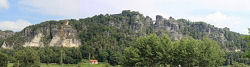
Schöna - Dresden
109 km
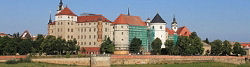
Dresden - Torgau
122 km
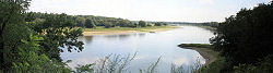
Torgau - Dessau
97 km
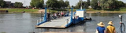
Dessau - Hohenwarthe
88 km
Hohenwarthe - Brandenburg a.d. Havel

84 km
Brandenburg - Spandau
Beds4Cyclists, worth visiting and infrastructure
Name and address
Latitude / Longitude
Phone
Fax
Mobile
Type of accommodation
Rating for cyclists
Route km
Dist. to route
Elevation
0 km
2,6 km
304 m
0 km
0,9 km
293 m
0 km
0,2 km
136 m
7 km
0,8 km
141 m
7 km
0,1 km
127 m
![]()