Radtour Romantisches Mittelfranken
Tag 7: Dinkelsbühl - Rothenburg
![]()
Bitte warten - Kartendaten werden geladen
Erstellt am 17.08.2021
zuletzt geändert von ThimbleU am 11.09.2021
Strecken-Merkmale
gefahren
Gesamtlänge in km
56
Gesamthöhenmeter Aufstieg
457
Durchschn. Steigung Aufstieg %
0,82
Gesamthöhenmeter Abstieg
462
Gesamtsattelstunden
3,6
Durchschnittsgeschwindigkeit in km/Std.
15,6
min. Höhe
383
max. Höhe
550
Informationen zu Rechten an den GPS-Track-Daten | |
|---|---|
Rechte-Inhaber | |
Rechte-Ausprägung / Lizenz | cc0: Public Domain keine Rechte vorbehalten |
Link zur Rechtebeschreibung | |
gpx-Datei hochgeladen | durch ThimbleU am 23.08.2021
|
Gesamtzahl Trackpoints
971
Trackpoint-Dichte per km
17
Endorte
Start
Dinkelsbühl, Bayern, DE (443 m NHN)
Ziel
Rothenburg ob der Tauber, Bayern, DE (438 m NHN)
gefahren am
23.08.2021
Wetter
Leicht bewölkt bis stark bewölkt, trocken, kurzer Nieselregen gegen 11:00 Uhr. 16 bis 20 °C.
Unterkunft
Kreuzerhof Hotel garni
Millergasse 2-6
DE-91541 Rothenburg ob der Tauber
Wegweisung
Von Dinkelsbühl bis kurz vor Schillingsfürst und von Schillingsfürst bis Rothenburg beschildert mit dem Logo der Fränkischen WasserRadweg-Route an Punkten, an denen mehrere Radwege zusammentreffen, deshalb nur selten. Im Wesentlichen allgemeines Radwegweisungsschild (grün). Für die Navigation ausreichend. |
|
|


Beschaffenheit
| Feste Oberfläche (Asphalt, Beton, …) glatt | 44,3 km | 78,4 % |
| Feste Oberfläche (Kopfsteinpflaster, Asphalt schlecht, …) holprig | 1,6 km | 2,8 % |
| Körnige Oberfläche (wassergeb. Decke, …) rau | 8,4 km | 14,9 % |
| Körnige Oberfläche (wassergeb. Decke, …) holprig | 2,2 km | 3,9 % |
Die Angaben beziehen sich auf die gefahrene Strecke!
Steigungs-Verteilung
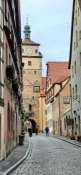
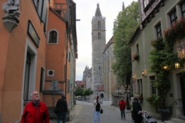
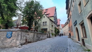
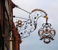
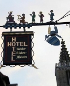
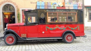
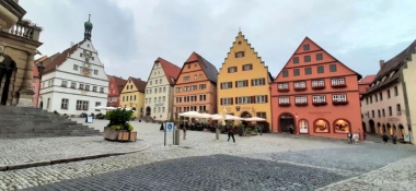
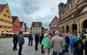
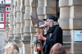
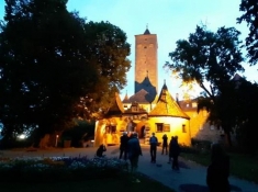
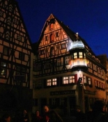
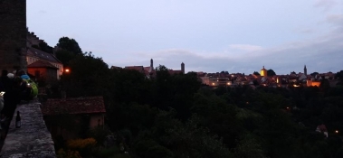
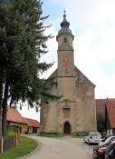
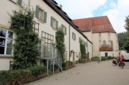
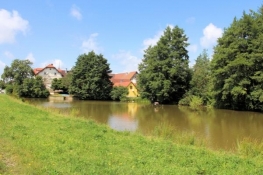
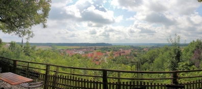
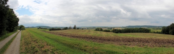
Reisebericht
Informationen zu Urheber-Rechten | |
|---|---|
Rechte-Ausprägung / Lizenz | by-sa: CREATIVE COMMONS Namensnennung, Weitergabe unter gleichen Bedingungen |
Link zur Rechtebeschreibung | |
übernommen / bearbeitet am | 10.09.2021
|
übernommen / bearbeitet durch |
|
Informationen zu Urheber-Rechten | |
|---|---|
Rechte-Ausprägung / Lizenz | by-sa: CREATIVE COMMONS Namensnennung, Weitergabe unter gleichen Bedingungen |
Link zur Rechtebeschreibung | |
übernommen / bearbeitet am | 10.09.2021
|
übernommen / bearbeitet durch |
|
Informationen zu Urheber-Rechten | |
|---|---|
Rechte-Ausprägung / Lizenz | by-sa: CREATIVE COMMONS Namensnennung, Weitergabe unter gleichen Bedingungen |
Link zur Rechtebeschreibung | |
übernommen / bearbeitet am | 10.09.2021
|
übernommen / bearbeitet durch |
|
Informationen zu Urheber-Rechten | |
|---|---|
Rechte-Ausprägung / Lizenz | by-sa: CREATIVE COMMONS Namensnennung, Weitergabe unter gleichen Bedingungen |
Link zur Rechtebeschreibung | |
übernommen / bearbeitet am | 10.09.2021
|
übernommen / bearbeitet durch |
|
Informationen zu Urheber-Rechten | |
|---|---|
Rechte-Ausprägung / Lizenz | by-sa: CREATIVE COMMONS Namensnennung, Weitergabe unter gleichen Bedingungen |
Link zur Rechtebeschreibung | |
übernommen / bearbeitet am | 10.09.2021
|
übernommen / bearbeitet durch |
|