Radtour Westhessisches Bergland - Lenne - Ruhr
Tag 4: Frankenberg - Korbach
![]()
Bitte warten - Kartendaten werden geladen
Erstellt am 24.06.2022
zuletzt geändert von ThimbleU am 04.12.2022
Strecken-Merkmale
gefahren
Gesamtlänge in km
81
Gesamthöhenmeter Aufstieg
586
Durchschn. Steigung Aufstieg %
0,72
Gesamthöhenmeter Abstieg
476
Gesamtsattelstunden
4,9
Durchschnittsgeschwindigkeit in km/Std.
16,5
min. Höhe
197
max. Höhe
377
Informationen zu Rechten an den GPS-Track-Daten | |
|---|---|
Rechte-Inhaber | |
Rechte-Ausprägung / Lizenz | cc0: Public Domain keine Rechte vorbehalten |
Link zur Rechtebeschreibung | |
gpx-Datei hochgeladen | durch ThimbleU am 28.06.2022
|
Gesamtzahl Trackpoints
1.432
Trackpoint-Dichte per km
18
Endorte
Start
Frankenberg, Hessen, DE (267 m NHN)
Ziel
Korbach, Hessen, DE (377 m NHN)
gefahren am
28.06.2022
Wetter
Morgens wolkenlos, bis zum frühen Nachmittag zunehmend bis 5/8 bewölkt. Kein Wind. 15 bis 25°C.
Unterkunft
Hotel Waage Korbach
Marktplatz 5
DE-34497 Korbach
Wegweisung
Bis Sachsenhausen: R6, ausreichend für die Navigation, aber gelegentlich Schilder in die falsche Richtung gedreht. |
|
Ab Affoldern: Ederseebahn-Radweg, ausreichend für die Navigation. |
|
Beschaffenheit
| Feste Oberfläche (Asphalt, Beton, …) glatt | 62,3 km | 76,7 % |
| Körnige Oberfläche (wassergeb. Decke, …) rau | 18,0 km | 22,2 % |
| Körnige Oberfläche (wassergeb. Decke, …) holprig | 0,9 km | 1,1 % |
Die Angaben beziehen sich auf die gefahrene Strecke!
Steigungs-Verteilung
Reisebericht
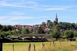
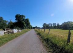
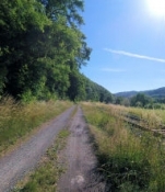
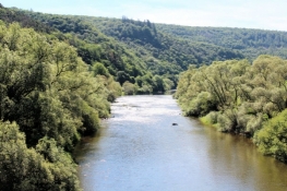
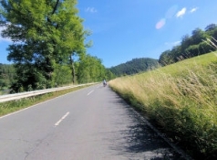
In Frankenberg fahre ich auf dem Eder-Radweg an der Altstadt vorbei aus der Stadt hinaus. Nach zwei Kilometern wird ein kleiner Umweg wegen einer Baustelle erforderlich. Danach radele ich bis Viermünden auf guter Oberfläche das Tal hinunter. In Viermünden wechsele ich auf das linke Eder-Ufer und fahre auf einem Wirtschaftsweg überwiegend am Waldrand neben der Bahnlinie weiter bis Kirchlotheim. Dort wechsele ich zurück ans rechte Ufer. Der Radweg verläuft nun auf separatem Streifen neben der Bundesstraße bis an das obere Ende des Edersees.
Informationen zu Urheber-Rechten | |
|---|---|
Rechte-Ausprägung / Lizenz | by-sa: CREATIVE COMMONS Namensnennung, Weitergabe unter gleichen Bedingungen |
Link zur Rechtebeschreibung | |
übernommen / bearbeitet am | 23.11.2022 - 03.12.2022
|
übernommen / bearbeitet durch |
|
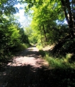
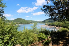
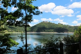
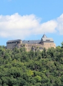
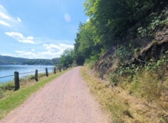
Weiter auf der nahezu verkehrsfreien Kreisstraße oberhalb des Seeufers bis Asel-Süd. Dabei sind auch einige kleinere Anstiege zu fahren. Ab jetzt radele ich auf einem schmalen Waldweg weiter. Mit leichtem Auf und Ab verläuft der Weg oberhalb des Seeufers im Wald. In Bringhausen geht es hinunter an das Ufer, an dem es für knapp 3½ Kilometer entlang geht. Dann klettere ich neben der Kreisstraße einige Höhenmeter hinauf und vor Rehbach rolle ich diese auf flott wieder hinunter ans Ufer. Knapp über Seehöhe radele ich um den Ort herum. Ein kleiner Buckel und weiter geht es um den Eschelberg herum. Rechts über mir muss das Gelände des TreeTopWalk, des Baumkronenweges am Edersee liegen. Am gegenüberliegenden Seeufer ist Schloss Waldeck auf der Bergkuppe zu sehen. Noch besser ist das Schloss von der Hammerbergspitze zu sehen, die spitz in den See hinausragt.
Informationen zu Urheber-Rechten | |
|---|---|
Rechte-Ausprägung / Lizenz | by-sa: CREATIVE COMMONS Namensnennung, Weitergabe unter gleichen Bedingungen |
Link zur Rechtebeschreibung | |
übernommen / bearbeitet am | 23.11.2022 - 03.12.2022
|
übernommen / bearbeitet durch |
|
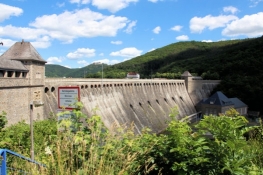
Wenig später komme ich an die Sperrmauer des Edersees. Hier dominiert touristische Infrastruktur. Heute sind aber nur wenige Besucher zugegen.
Informationen zu Urheber-Rechten | |
|---|---|
Rechte-Ausprägung / Lizenz | by-sa: CREATIVE COMMONS Namensnennung, Weitergabe unter gleichen Bedingungen |
Link zur Rechtebeschreibung | |
übernommen / bearbeitet am | 23.11.2022 - 03.12.2022
|
übernommen / bearbeitet durch |
|
Von der Sperrmauer rolle ich die Straße hinunter ins Edertal. In Hemfurth wechsele ich auf die andere Flussseite und radele dann entlang der ehemaligen Bahnstrecke zum Damm des Stausees von Affoldern.
Informationen zu Urheber-Rechten | |
|---|---|
Rechte-Ausprägung / Lizenz | by-sa: CREATIVE COMMONS Namensnennung, Weitergabe unter gleichen Bedingungen |
Link zur Rechtebeschreibung | |
übernommen / bearbeitet am | 23.11.2022 - 03.12.2022
|
übernommen / bearbeitet durch |
|
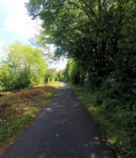
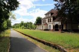
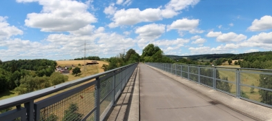
Hinter dem Ort auf separatem Radweg neben der Kreisstraße den Berg wieder hinauf zum Bahnhof Buhlen. Der liegt etwa höhengleich mit der Sperrmauerkrone des Edersees. Ab jetzt radele ich flott auf der ehemaligen Trasse der Ederseebahn. Gut ausgebaut und mit geringer Steigung geht es das Tal der Netze hinauf. Vorbei am ehem. Bahnhof Waldeck und weiter über den Selbacher Viadukt, einer siebenbogigen, 193 m langen und 28 m hohen Eisenbahnbrücke.
In Höringhausen verlasse ich den Radweg und radele durch den Ort. Hier wurde mein Großvater geboren.
Informationen zu Urheber-Rechten | |
|---|---|
Rechte-Ausprägung / Lizenz | by-sa: CREATIVE COMMONS Namensnennung, Weitergabe unter gleichen Bedingungen |
Link zur Rechtebeschreibung | |
übernommen / bearbeitet am | 23.11.2022 - 03.12.2022
|
übernommen / bearbeitet durch |
|
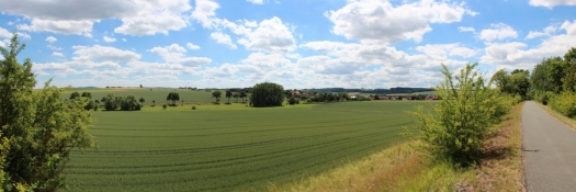
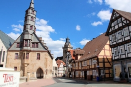
Zurück auf dem Bahnradweg sind es noch zehn Kilometer bis Korbach. Von der Bahntrasse bis in die Altstadt sind es fünf Minuten auf Straßen.
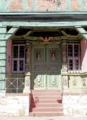
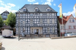
Eine Unterkunft muss ich mir noch suchen, das gelingt aber bereits beim ersten Versuch. Im Gasthof Zur Waage am Marktplatz komme ich unter.
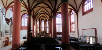
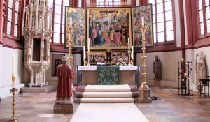
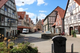
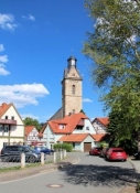
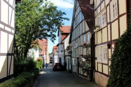
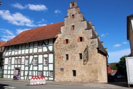
Am Nachmittag kann ich in einem ausführlichen Rundgang die schöne und sehenswerte Altstadt erkunden.
Die Strukturen der mittelalterlichen Hansestadt sind erhalten, ebenso die Kirchen und viele Fachwerk- sowie einige Steinhäuser und Teile der Stadtbefestigung.
Informationen zu Urheber-Rechten | |
|---|---|
Rechte-Ausprägung / Lizenz | by-sa: CREATIVE COMMONS Namensnennung, Weitergabe unter gleichen Bedingungen |
Link zur Rechtebeschreibung | |
übernommen / bearbeitet am | 23.11.2022 - 03.12.2022
|
übernommen / bearbeitet durch |
|


